
You need to either purchase at least 3 Bargain Corner books or you may add any number of Bargain Corner books to your basket if your order already contains at least one other book from our other Catalogues.
£13.60
FREE UK Shipping*
In stock
Want delivery to a non-UK address?
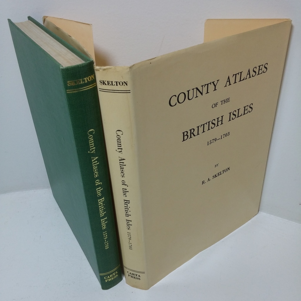
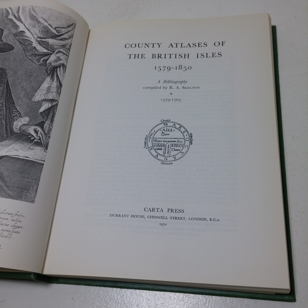
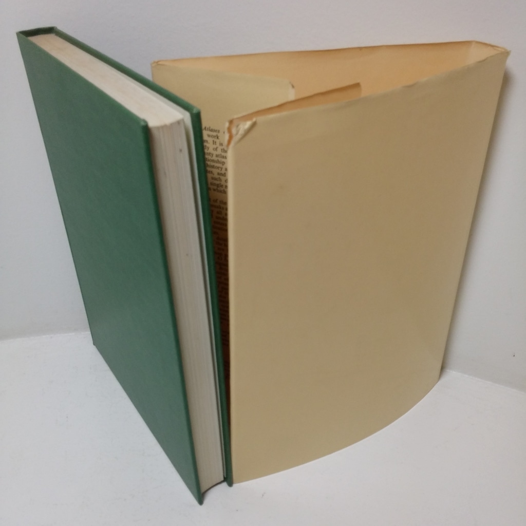
First edition, first impression. viii, 260pp, followed by 40 plate illustrations, with two folding maps interleaved in text. Green cloth-covered boards with gilt lettering to spine. 8vo. Cloth very slightly rubbed on extreme points (corners and spine tips). Upper text block edge dust dulled. Internally neat, clean, bright and tight. In its original glossy dust jacket, not price clipped. a little toned and shelf worn, gently bumped on extreme edges.
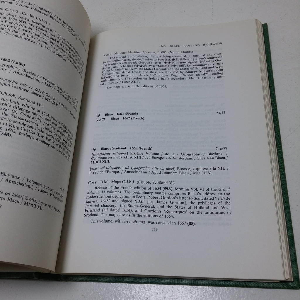
A study of the evolution of the English County atlas, with biographies of map-makers and publishers, with guides to the identification of specific maps, their editions and re-issues and variants, including a detailed examination of the map trade in Tudor and Stuart Britain.
Keywords:




Thank you for your interest in this book. Fill in the form below to submit your inquiry.